Course library on device
Browse sample sprints and forest legs, open any control for IOF-style descriptions, terrain hints, and colour-class context — all without live GPS tracking.
ORIENTEERING PLANNER
Plan control order, sketch legs on the map, and dial bearings before you pin on your number.
Legbench is for club training, school maps, and park sprint practice — a quiet bench for reading the map, not a GPS tracker on the course.
FEATURES
Everything stays on your device until you clear it. Metric or imperial units, degrees or mils — tuned in Settings.
Browse sample sprints and forest legs, open any control for IOF-style descriptions, terrain hints, and colour-class context — all without live GPS tracking.
Sketch straight, trail, or contour-hunting lines on the canvas, compare leg distance and detour percentage, and rehearse decisions before the start horn.
Dial bearings in degrees or mils, count double paces, and keep ISOM 2017 symbols and attack-point techniques one tap away in the Field Kit reference.
GALLERY
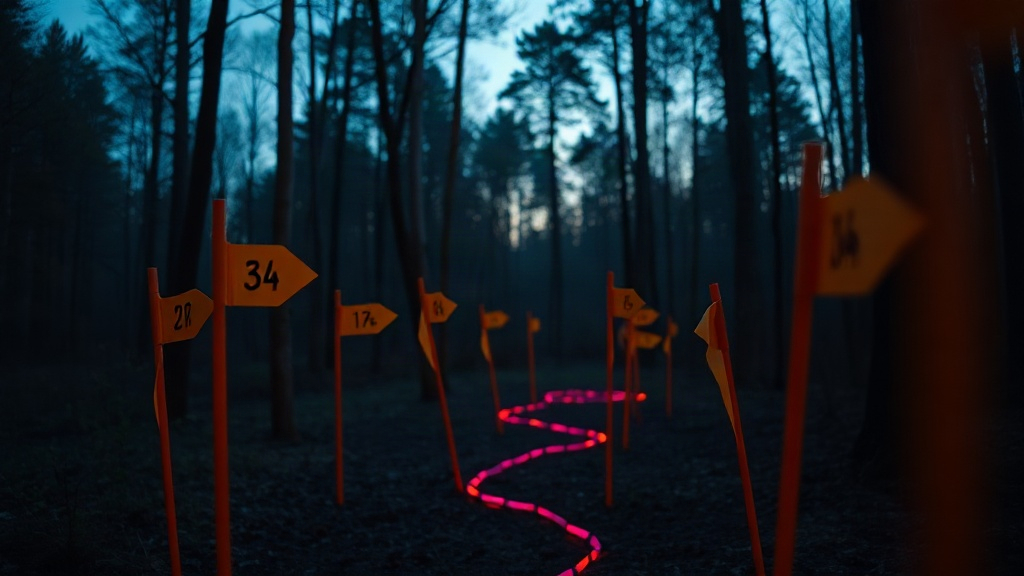
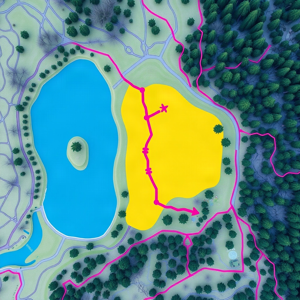
Atmospheric stills inspired by orienteering cartography — your in-app courses live on the planner canvas.


ABOUT
Symbol references follow ISOM 2017. Control descriptions follow IOF 2018. Legbench does not replace an official event map or electronic punching — it helps you study and plan.
LEGAL
Last updated: October 9, 2026
Legbench is published by Mudd Thangz LLC. This policy explains what information the app handles on your iPhone or iPad.
Data we collect. Legbench stores courses, route sketches, and preferences locally on your device. We do not require an account, and the app is not designed to upload your maps or plans to our servers.
Location. Legbench is not a live GPS tracker on the course. It does not continuously collect location in the background for navigation.
Analytics and third parties. We do not sell personal information. If optional diagnostics are enabled through Apple’s systems, they are governed by Apple’s policies.
Children. The app is suitable for general audiences. Parents and coaches should supervise younger runners during training.
Changes. We may update this policy. The current version is always available at this URL.
Contact. Questions about privacy: shawntapearson@muddthangzllc.org.
Need help with Legbench, found a bug, or have feedback about course planning features? Email us and include your iOS version and a short description of what you were doing.
Email: shawntapearson@muddthangzllc.org
Response time. We aim to reply within a few business days.
Copyright © 2026 Mudd Thangz LLC. All rights reserved.